Historic Landscape
Characterisation
The Gwent Levels
08 Northern Redwick
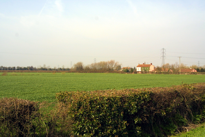
08 Northern Redwick character area: fairly simple landscape,
including Tintern Abbey's estate at Grangefield.
(Photo: GGAT Gwent Levels 028)
Click here for a character area map
This area was enclosed and drained probably around the thirteenth or fourteenth century.
Grangefield was a farm owned by the monks of Tintern Abbey. The area to the east, known as "Black Moores", was enclosed and drained by them, probably in the thirteenth or fourteenth century.
Key historic landscape characteristics
Uniformity, limited range of features, earthworks - monastic grange,
monastic boundary, regular field pattern, straight lanes without waste,
sparse settlement at periphery, drainage features (reens, ridgeing/surface
drainage, grip system)
A slightly lower-lying area inland of the coastal part of Redwick. Bounded by Whitson (area 3) to the west, Green Moor Wall/Rush Wall to the north (area 9), and Ynys Mead/Mere Reen to the south (areas 6 and 7).
This area of landscape is characterised by its uniformity and limited range of landscape features; a regular field-boundary pattern, with relatively few lanes, all of them straight and without roadside waste, and very few settlements. Just three isolated farmsteads all lie around the periphery (Grangefield, Greenmoor and Greenfield Farms).
The earthworks of Tintern Abbey's farm survive beside Grangefield, and are scheduled. Slight traces of a bank survive along Mere (Old English for boundary) Reen, that probably represents the boundary between Redwick's open fields in Broadmead (area 7) and the Lands of Tintern Abbey to the north. There are some well-preserved grip systems, especially to the east of Grangefield.
The landscape around Grangefield is historically very important due to its monastic associations, and has a high group value; this area is in rather better condition than the rest of area 8.
Though the whole of this landscape block survives, and has good coherence
(especially around Grangefield), its integrity has been reduced due to
the intensity of modern farming.
While this character area is largely, complete, parts are poorly preserved with extensive ploughing and the removal of hedges. The extreme western part is in better condition, where hedges are predominantly scrubby, with some well wooded.
This area is important, however, as a buffer zone between the industrial
and commercial developments to the north, and the better-preserved, more
secluded landscapes to the south. Though at present, the very open nature
of the landscape affords little screening of the Steel Works or Gwent
Europark developments, this could change.